
Route 66 Day
Celebrate the highway's 100th birthday in a single class period. Everything you need is on this page: a script, answers, the interactive map, and the postcard printables. No sign-up needed to teach it.
Lesson flow
Say: "On November 11, 1926, the United States gave its highways numbers for the first time. One of those numbers was 66: a road running 2,448 miles from Chicago to the Pacific Ocean at Santa Monica. It turns 100 years old today."
Ask: Before highways had numbers, how did drivers know where they were going?
Show answerHide answer
Roads had names, not numbers (the National Old Trails Road, the Lone Star Route), marked by painted bands on telephone poles. Drivers followed guidebooks, landmarks and directions from locals. Numbers made one system that worked the same in every state.
Ask: In 1926, what do you think most of Route 66 was made of?
Show answerHide answer
Dirt and gravel. Only about 800 of its 2,448 miles were paved when the road got its number. It wasn't fully paved until 1938.
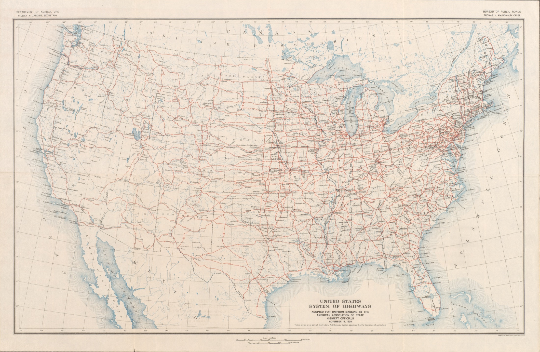
Do: Switch to the interactive map below. Have students call out the 8 states as the road crosses them: Illinois, Missouri, Kansas, Oklahoma, Texas, New Mexico, Arizona, California. On the route: find the stop nearest your school. Far from it: find your town, then estimate the distance and direction to the closest point on the road.
Ask: Why does the road bend south instead of running straight west?
Show answerHide answer
It followed roads, trails and railway lines that already existed, connected the main streets of hundreds of towns, and took the low southern route around the Rocky Mountains so it could stay open in winter.
Ask: Kansas only gets 13 miles of the road. Which states get the most?
Show answerHide answer
Oklahoma, with about 400 miles, more than any other state. That's no accident: the man who pushed the route through his home state, Tulsa's Cyrus Avery, is called the Father of Route 66.
Do: Pick the tier that fits your grade (answers under each prompt). Work it on the board or in pairs.
Say: "You just drove all day and stopped here for the night. Write home. What did you see out the window? What's for dinner? What's the one thing here you'd tell everyone about?"
Do: In pairs, students pick a stop on the map. Click its dot: the callout says what that place is known for, and the story stops below go deeper. Each student writes a postcard home, dated November 11, 1926 or November 11, 2026: what they see, hear and eat there, signed with a first name. The drawing side is for early finishers or home.
Say: "This spring, classes across the country are building an online guide to this whole road, stop by stop. If we join a stop, these postcards go on our stop's page."
Do: Hang the postcards or read a few aloud. If your class has joined a stop, photograph them (no faces or names) and submit the photos from your project page in ClassJax today, while they're on the desks.
The road, for the projector
Road-trip math, by grade
The whole trip takes about 54 hours of driving. At 8 hours of driving a day, how many days is that?
Show answerHide answer
54 ÷ 8 = 6.75, so it takes 7 days: six full days of driving and most of a seventh.
The road ran about 2,448 miles. At 45 miles per hour, how many hours of driving is that? How many days at 8 hours a day?
Show answerHide answer
2,448 ÷ 45 ≈ 54.4 hours. 54.4 ÷ 8 = 6.8, so about 7 days on the road.
Today the interstate covers about 2,200 miles of the same trip at 70 mph. How much time does it save? Why might you still take the old road?
Show answerHide answer
2,200 ÷ 70 ≈ 31.4 hours, about 23 hours less: nearly three whole driving days saved. You'd take the old road because the towns, diners and neon are the point; the interstate goes past places, Route 66 goes through them.
Eight states, eight stories
One story per state, for reading aloud or postcard inspiration. Click a card to see that stop on the map.
What's coming after today
Today's lesson stands alone. For classes that join a stop, this is the road ahead: Meet Your Stop is the one activity every class does, the rest are a menu. The activities arrive through the winter with no due dates; each is a one-period lesson you pull into your ClassJax planner whenever it fits. Nothing is added automatically.